| Track length: |
18.38 km |
| Moving time: |
7:53 ( Total: 8:41 ) |
| Average speed: |
2.33 km/h |
| Total ascent: |
1523 m |
| Total descent: |
1250 m |
| Difficulty Level: |
3/5 - Medium |
| Categories: |
 |
| Terrain: |
Public access |
Overall rating: 5 (6880 vote(s))
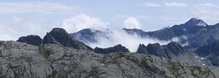
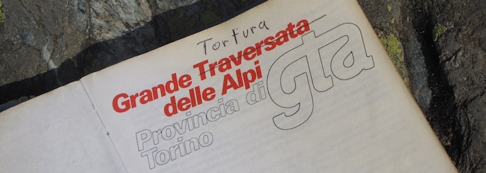
Day 15: Rifugio Melezè to Rifugio Bagnour
Home Day 15: Rifugio Melezè to Rifugio Bagnour